All Sights
The sights, landmarks, points of interest, entertainment and dining on the Costa Brava. Filter by type and location to quickly find places to visit on the Costa Brava coast.
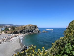
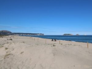
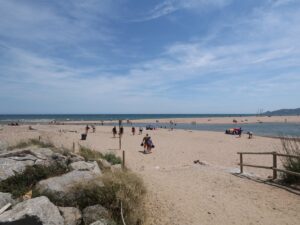

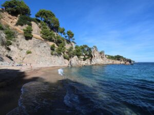
Residents of Pals do not have direct sea access, but the Pals municipality includes a resort town Platja de Pals, whose name is easily translated as “the Beach of Pals”. This sandy beach is one of the longest on the Costa Brava, whose length exceeds two kilometres.
A 1.5 km long sea swimming route, part of the Vies Braves network, runs along the beach of Pals (Platja Gran de Pals).
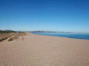
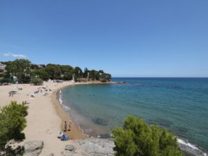
Gran Pals Beach
41.9954630000, 3.1998310000
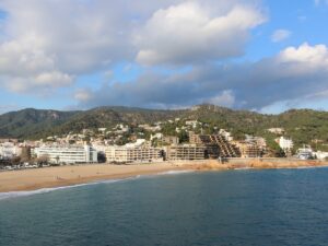
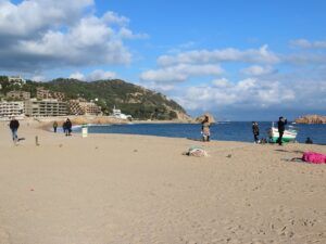
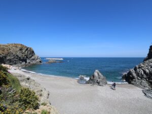
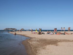
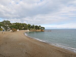
Gran Tossa de Mar Beach
41.7194730000, 2.9341630000
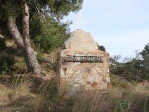
The burial grounds of Cista del Clot del Llorer date back to the period of 3500–3000 B.C. Its digging was carried out by the archaeological group of Lluís Esteva i Cruañas in 1965. The easiest way to see the burial is to follow the megalith route of Fitor.
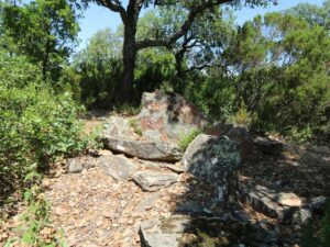
Grave of Clot del Llorer
41.9221560000, 3.0764760000
Les Guilleries is a mountain range located in the comarcas of Osona and La Selva in Catalonia, nestled between the Plains of Vic (Plana de Vic) to the west, the Anglès municipality to the east, the northern shores of the water reservoirs Sau and Susqueda to the north, and the municipality of Sant Hilari Sacalm to the south. The latter is considered an unofficial capital of Les Guilleries as it’s a major town and even boasts a specialized local history museum.
The tallest point of Les Guilleries is Sant Miquel de Solterra whose peak towers 1204 metres above the sea. Hiking to the top will reward you with the ruins of the Solterra castle and the Saint Michael chapel.
Guilleries
41.9328700000, 2.4927200000
Phone number: 972 869 447
Opening hours: Tuesdays and Thursdays 10:00 am to 1:00 pm and 4:00 pm to 6:00 pm, Saturdays and Sundays by appointment only.
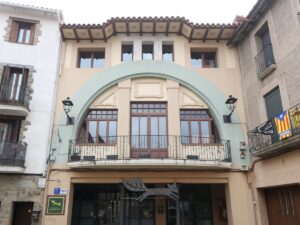
Guilleries Museum
41.8792600000, 2.5093900000