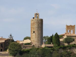
All Sights
The sights, landmarks, points of interest, entertainment and dining on the Costa Brava. Filter by type and location to quickly find places to visit on the Costa Brava coast.
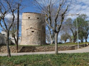
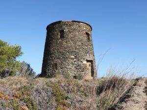
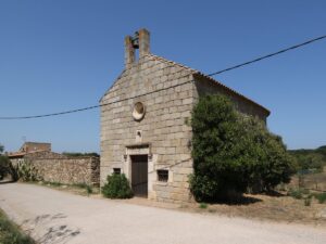
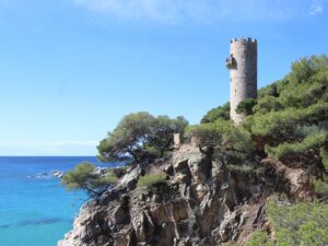
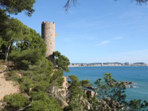
The grand opening of the navigation and meteorology station Semáfor de Begur on the cape of Begur (Cap de Begur) took place on December 10, 1891. After the mayor of Begur Josep Font cut the red ribbon, the local elite moved to the local casino to continue the festivities.
The opening of a vital nautical navigation station was only one of the causes of celebration. The other, no less important, victory was the fact that Semáfor de Begur was snatched away from the neighbouring municipality of Palafrugell that proposed to house the new station on the same spot as the lighthouse Far de Sant Sebastià.
The station had served mariners until the 1970s. It is currently unused and closed to visitors, but there is a convenient lookout point right by its side with excellent views of the coast. You can reach the Begur Semaphore from the town centre along the streets Camí del Mar and Camí del Semáfor.
The Semaphore of Begur
41.9501630000, 3.2318190000


Phone number: 972 642 067
Opening hours (September-June): Tuesday-Friday 10:00 am to 1:00 pm and 4:00 pm to 7:00 pm; Saturdays 10:00 am to 2:00 pm and 5:00 pm to 8:00 pm; Sundays, holidays, 24th and 31st December, 5th January 10:00 am to 2:00 pm.
Opening hours (July-August): Monday-Saturday 10:00 am to 2:00 pm and 4:30 pm to 8:00 pm, Sundays and holidays 10:00 am to 2:00 pm.
Closed on 1st and 6th January, 1st May, 25th and 26th December.

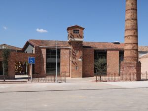


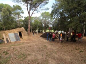
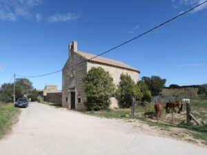
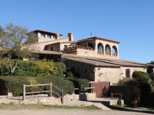
The Terracotta Ceramics Museum
41.9589070000, 3.0441370000

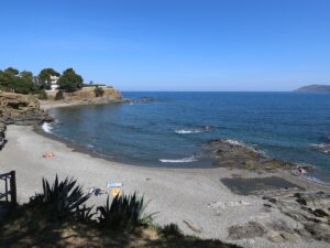
Cala Vigatà is a cove on the southern border of Sant Feliu de Guíxols measuring about 150 metres long and only 15 metres wide. To reach it, simply follow the street Camí de les Penyes until the coordinates (41.775814, 3.025768), where you can park and walk towards the sea—in about 50 metres you will see stone steps on your right that will lead you right into the Vigata cove.
The cliffs surrounding Vigatà are so close to the sea that its pine trees can literally touch the water. The soil cover of the cove is a mix of sand and pebbles, with no beach amenities to speak of. Despite that, the cove is wildly popular thanks to the natural treasures it hides underwater—Posidonia meadows, starfish, and colourful fish schools attract snorkelling and diving lovers alike.
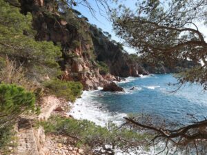
The Vigatà Cove
41.7740260000, 3.0257930000