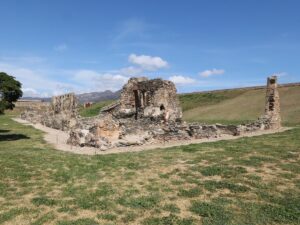
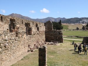
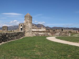
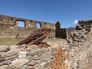
Archaeological sites

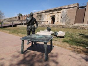
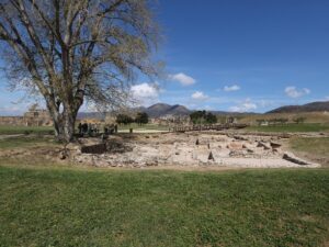
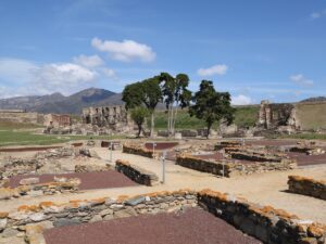
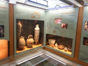
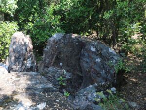
Archaeological excavations of Camp dels Ninots
41.8325830000, 2.7991510000
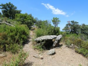
The path to the cave begins at the point (42.052329, 3.130612) along the route from Torroella de Montgrí to the Montgrí Castle. Follow the yellow arrows painted on the rocks.
Note! This is an unofficial route that is strictly not recommended for hikers without specialized shoes, with a fear of heights or vertigo. Attempting to reach the cave, you do so at your own risk—the path is dangerous and at this height leaves no room for error. Approach with caution.
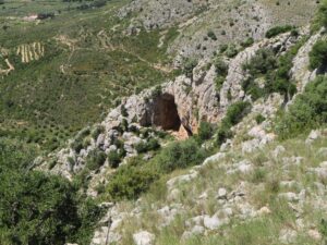
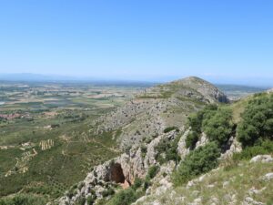
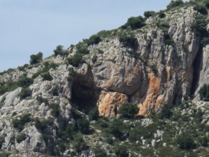
Cau del Duc Cave
42.0520220000, 3.1299580000
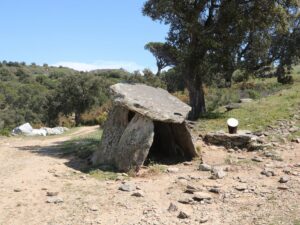
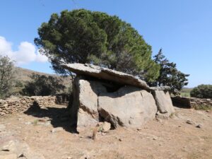
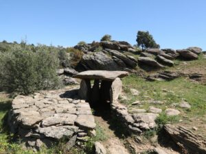
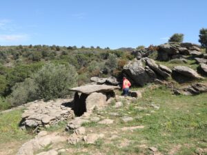
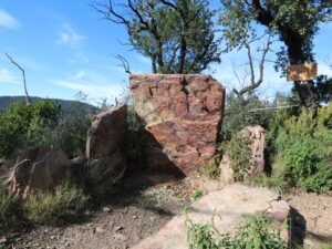
The Dolmen del Cap de l’Home dates back to 3000-3500 B.C. in the late Neolithic age. The dolmen is built from gneiss plates in a trapezoidal shape. It has become a local point of interest in Roses in the 1980s after being uncovered during an archaeological dig.
You don’t need to go on a hiking trip to see the dolmen, as it is located just 50 meters away from the street Pitágoras on the outskirts of Roses. There is a convenient parking lot nearby.
Dolmen Cap de l'Home
42.2646690000, 3.1897490000

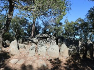
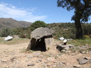
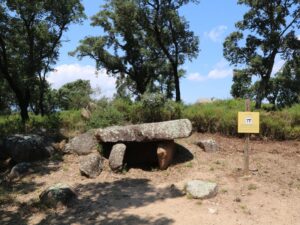
The dolmen Creu d’en Cobertella is the largest dolmen in Catalonia, dating back to 3000-3500 B.C. Discovered in 1975, it was hidden inside a round stone mound, typical for burial grounds of the late Stone Age. During the excavations, the archeologists also discovered human remains, ceramic pieces, and the Roman coin onsite.
The dolmen is formed by large gneiss plates. Two chambers that are present in the structure had most likely also had a stone hallway leading up to them, but it hasn’t survived to the modern day.
Dolmen Creu d'en Cobertella
42.2570210000, 3.1971740000
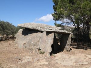
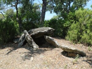
The dolmen Llit de la Generala is found 150 meters away from the dolmen Cap Home, so these two archaeological sites may be visited at once.
The dolmen dates back to 3000-3500 B.C. It consists of a semicircular chamber formed by gneiss plates and a narrow stone hallway.
Dolmen Llit de la Generala
42.2639180000, 3.1919300000
The dolmen of Doctor Pericot (Dolmen del Dr. Pericot) was discovered in 1975 and named after a renowned Catalan archeologist, Luis Pericot. Scientists date this megalith to the 3000-2500 B.C. The dolmen of Doctor Pericot is located on a hiking route in the vicinity of the church Santa Coloma de Fitor.
Dolmen of Dr. Pericot
41.9227550000, 3.0727830000
The dolmen of Les Maries (Dolmen de les Maries) owes its name to two Marias from the group of archeologists who dug out the monument from the ground. This megalith appears to have been built between 3000 and 2500 B.C. The dolmen of Les Maries is one of the sights along the megalith route of Santa Coloma de Fitor.
Dolmen of Les Maries
41.9180180000, 3.0862510000
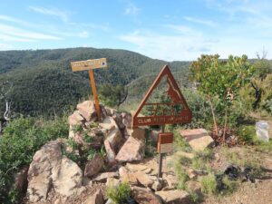
The Mirgoler dolmen (Dolmen del Mirgoler) is one of the dozen megalithic monuments along the hiking route near the village of Capmany that forms part of the Itinerànnia network.
Dolmen of Mirgoler
42.3849610000, 2.9055840000
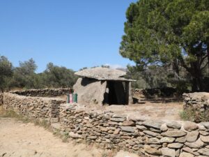
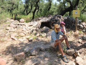
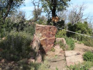
The dolmen (burial chamber) Montagut is located at the peak of the Montagut hill (265 m above sea level) in the mountain range of Les Favarres next to the small town Vall-llobrega.
The dolmen dates back to 2700-2200 B.C. in the Bronze Age. It was discovered during the digging led by archaeologist Maties Pallarés i Gil in 1915-1920. Besides finding the dolmen itself, the team also discovered various fragments of ceramic dishes.
Montagut has the dolmen structure referred to as i>galeria catalana, Catalan Galleria, with lower hallways relative to the chamber height. Montagut’s hallway is U-shaped, made from slate plates, just like the chamber itself. The top horizontal plate and three side ones have been found in their proper positions, while the archaeologists also uncovered the fallen eastern plate and the cracked western one. Beyond the top plate, one can spot the remains of the burial mound inside which the dolmen stood.
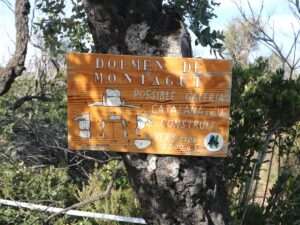
Dolmen of Montagut
41.8858060000, 3.1093530000
The Querafumat dolmen (Dolmen del Querafumat) is one of the dozen megalithic monuments along the hiking route near the village of Capmany that forms part of the Itinerànnia network.
Dolmen of Querafumat
42.3909120000, 2.9205850000
The dolmen Roca de l’Aglà was discovered in 1912 and properly dug out in 1965. It dates back to 3.000-2.500 B.C. The dolmen is one of the megaliths found on the hiking route crossing the Fitor area. Dolmen de la Roca de l’Aglà has two other names—The Small Dolmen (Dolmen Petit) and The Vinyassa Dolmen (Dolmen de la Vinyassa).
Dolmen of Roca de l'Aglà
41.9166960000, 3.0977370000
The dolmen Serra d’en Cals (Dolmen de la Serra d’en Cals) was discovered in 1912 and brought above ground in 1965. Archaeologists date this megalith to 3000-2500 B.C. The dolmen of Serra d’en Cals is located along the thematic hiking route through Fitor.
Dolmen of Serra d'en Cals
41.9190040000, 3.0835750000
The first mention of the dolmen Serra Mitjana (Dolmen de la Serra Mitjana) dates back to the 9th century—an ancient document defining the borders of the village of Sant Climent de Peralta uses the dolmen as a waymark. The digging of the megalith began in 1919, but the attempts to extract it from the ground were for the longest time unsuccessful—only in 1965 did the archaeological team led by Lluís Esteva i Cruañas finish the job. Scientists date the monument back to 3.400-3.200 B.C. The dolmen of Serra Mitjana is one of the landmarks on the archaeologically-themed hiking route in Fitor.
Dolmen of Serra Mitjana
41.9193190000, 3.0943080000