
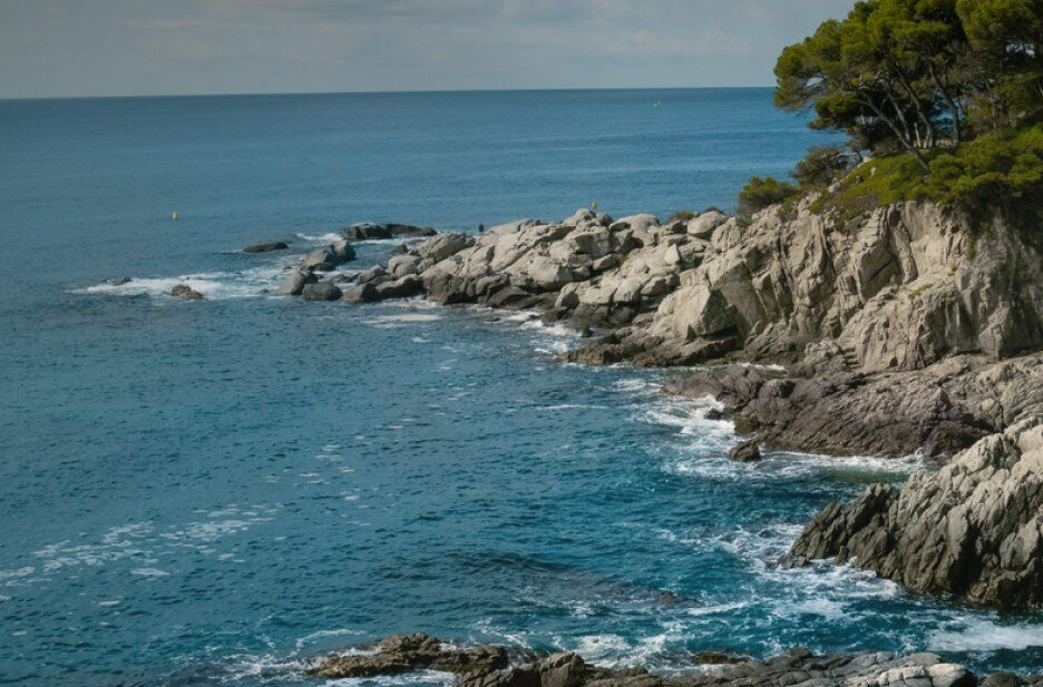
Routes
Plan a hike or a cycling itinerary with our complete list of Costa Brava hiking routes and cycling trails. Explore routes at a glance, filter by difficulty, and download the .gpx files for your GPS navigator by clicking "Download route".
Regional Routes
Hiking 

Sender de la Mediterrània: Palau-sator - La Casa Nova (GR® 92.1 variant)
Difficulty
High
Distance
45.96 km
Hiking
Sender de la Mediterrània: Llançà - Estanys de Vilaüt (GR® 92.0 variant)
Difficulty
Medium
Distance
16.70 km
Hiking
Sender de la Mediterrània: Llançà (port) - Cadaqués (GR® 92, leg 2)
Difficulty
Medium
Distance
20.29 km
Duration
270 min
Hiking
Sender de la Mediterrània: Portbou - Llançà (port) (GR® 92, leg 1)
Difficulty
Medium
Distance
9.82 km
Duration
170 min

Hiking
Camí Ral de Sant Benet al Far: Sant Benet - Mare de Déu del Far (PR®-C 222)
Difficulty
High
Distance
17.69 km
Hiking
Arbúcies - Santa Fe de Montseny (PR®-C 204)
Difficulty
Medium
Distance
8.90 km
Hiking
Sender del Castell de Montsoriu: Arbúcies - Castell de Montsoriu (PR®-C 201)
Difficulty
Medium
Distance
7.89 km