
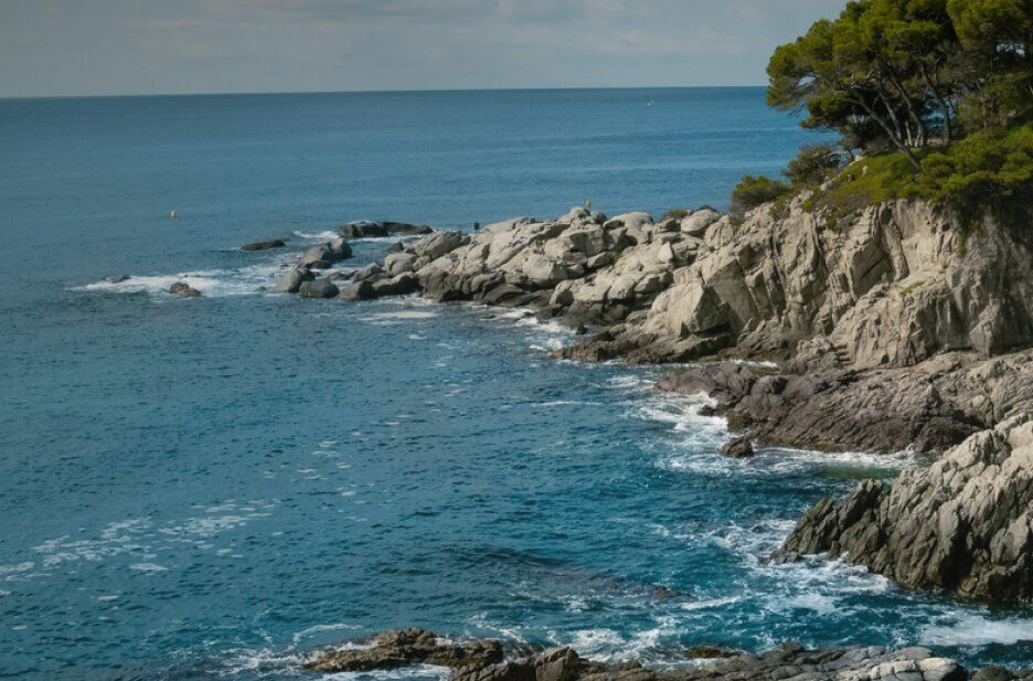
Routes
Plan a hike or a cycling itinerary with our complete list of Costa Brava hiking routes and cycling trails. Explore routes at a glance, filter by difficulty, and download the .gpx files for your GPS navigator by clicking "Download route".
Regional Routes
Hiking 

Ruta de les pedreres: La Cellera de Ter - La Cellera de Ter (SL®-C 9)
Difficulty
Medium
Distance
9.41 km
Duration
145 min
Hiking
Ruta d'en Serrallonga: Sant Hilari Sacalm - Coll de Serrallonga (GR® 178.2 variant)
Difficulty
Medium
Distance
13.70 km
Duration
210 min
Hiking
Ruta d'en Serrallonga: Coll de Roscall - Anglès (Puig Bell) (GR® 178.1 variant)
Difficulty
Low
Distance
6.90 km
Duration
150 min
Hiking
Ruta d'en Serrallonga: Osor - Pantà de Sau (GR® 178, leg 2)
Difficulty
High
Distance
26.57 km
Duration
380 min

Hiking
Ruta d'en Serrallonga: Santa Coloma de Farners - Osor (GR® 178, leg 1)
Difficulty
High
Distance
27.71 km
Duration
380 min
Hiking
Camí del nord o del Canigó: Osor - Les Planes d'Hostoles (GR® 83, leg 5)
Difficulty
High
Distance
27.00 km
Hiking
Camí del nord o del Canigó: Arbúcies - Osor (GR® 83, leg 4)
Difficulty
High
Distance
23.10 km
Duration
345 min
Hiking
Camí del nord o del Canigó: Riells - Arbúcies (GR® 83, leg 3)
Difficulty
Medium
Distance
17.63 km