
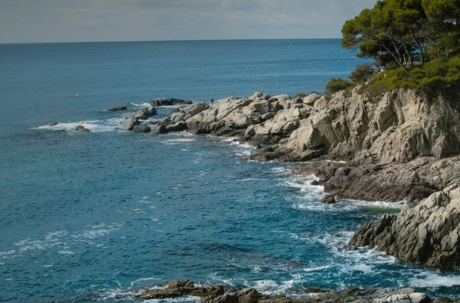
Routes
Plan a hike or a cycling itinerary with our complete list of Costa Brava hiking routes and cycling trails. Explore routes at a glance, filter by difficulty, and download the .gpx files for your GPS navigator by clicking "Download route".
Regional Routes
Hiking 

Camí del nord o del Canigó: Collsacreu - Riells (GR® 83, leg 2)
Difficulty
Medium
Distance
18.34 km
Duration
275 min
Hiking
De la Jonquera a Sant Adrià de Besòs: Lladó - Besalú (GR® 2, leg 3)
Difficulty
High
Distance
21.26 km
Duration
345 min
Hiking
De la Jonquera a Sant Adrià de Besòs: Boadella d'Empordà - Lladó (GR® 2, leg 2)
Difficulty
High
Distance
17.01 km
Duration
335 min
Hiking
Sender històric: Banyoles - Besalú (GR® 1, leg 4)
Difficulty
Medium
Distance
13.63 km
Duration
200 min

Hiking
Sender històric: Veïnat de Can Dalmau - Banyoles (GR® 1, leg 3)
Difficulty
Low
Distance
12.49 km
Duration
185 min
Hiking
Sender històric: Camallera - Veïnat de Can Dalmau (GR® 1, leg 2)
Difficulty
Medium
Distance
16.30 km
Duration
240 min
Hiking
Sender històric: Sant Martí d'Empúries - Camallera (GR® 1, leg 1)
Difficulty
Medium
Distance
17.59 km
Duration
265 min
Hiking
Sender de Palamós: Palamós - Mont-ras - Palamós (PR®-C 105)
Difficulty
Medium
Distance
21.19 km