
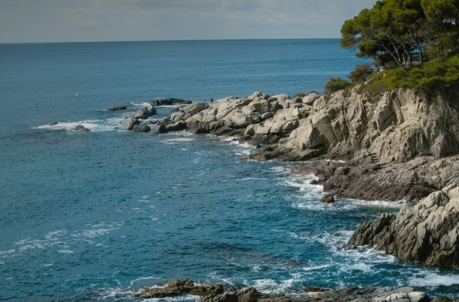
Routes
Plan a hike or a cycling itinerary with our complete list of Costa Brava hiking routes and cycling trails. Explore routes at a glance, filter by difficulty, and download the .gpx files for your GPS navigator by clicking "Download route".
Regional Routes

Hiking 
Sender de Carcaixells de Dalmau i de la Roca: Pas de la Miloca - Roca del Sol (SL®-C 32)
Difficulty
Medium
Distance
3.74 km
Hiking
Sender del Pont de Salenys: Roca del Sol - Pont de Salenys (SL®-C 34)
Difficulty
Low
Distance
3.54 km
Hiking
Sender de la Vall de la Mascanada: Sant Feliu de Guíxols - Sant Feliu de Guíxols (SL®-C 33)
Difficulty
Low
Distance
5.17 km

Hiking
Sender de Santa Maria de Fenals: Cabanyes (Calonge) - Roca del Sol (SL®-C 31)
Difficulty
Medium
Distance
5.58 km
Hiking
Sender de les Roques Martines: Castell d'Aro - Mas Cruanyes (SL®-C 30)
Difficulty
Low
Distance
4.43 km
Hiking
Sender dels Estanyots del Castell: Mas Terrades - Sant Cebrià (SL®-C 29)
Difficulty
Medium
Distance
5.72 km
Hiking
Sender de Santa Maria de Bell-lloc: Vall-llobrega - Calonge (SL®-C 28)
Difficulty
Medium
Distance
6.53 km