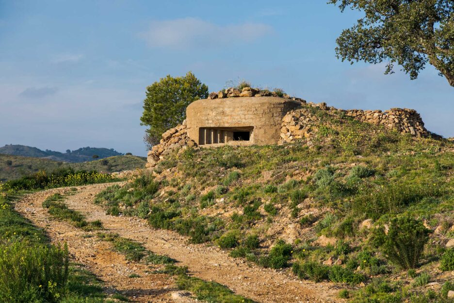

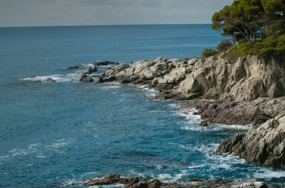
Routes
Plan a hike or a cycling itinerary with our complete list of Costa Brava hiking routes and cycling trails. Explore routes at a glance, filter by difficulty, and download the .gpx files for your GPS navigator by clicking "Download route".
Regional Routes
Hiking 

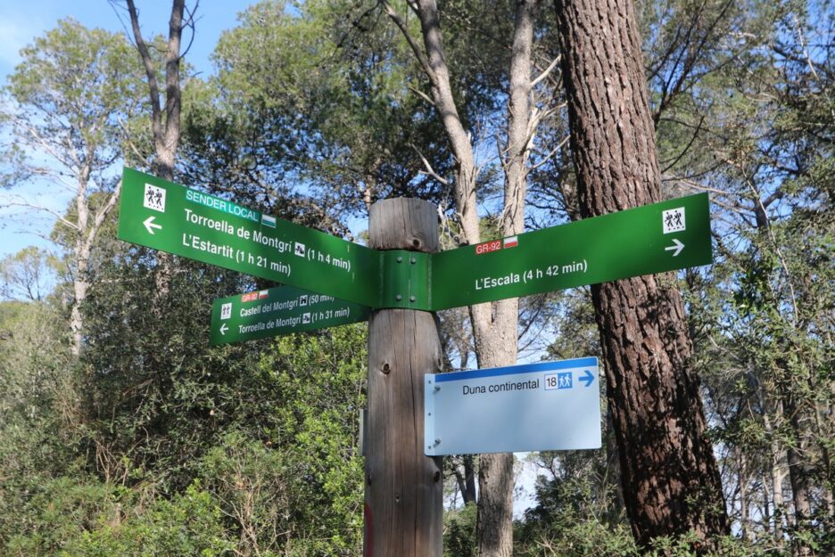
Sender de les Dunes: Les Dunes (Torroella de Montgrí) - Les Dunes (Torroella de Montgrí) (SL®-C 18)
Difficulty
Low
Distance
2.84 km
Hiking
Sender de Santa Caterina: Coll de la Creu - L'Estartit (SL®-C 17)
Difficulty
Low
Distance
2.45 km
Hiking
Sender de Sant Feliu de Guíxols: Sant Feliu de Guíxols - Montclar (PR®-C 102)
Difficulty
Medium
Distance
9.58 km

Hiking
Can Toni - Collet de la Mare de Déu (PR®-C 101.1 variant)
Difficulty
Low
Distance
1.80 km
Hiking
Sender de Sant Grau d'Ardenya: Sant Feliu de Guíxols - Sant Grau d'Ardenya (PR®-C 101)
Difficulty
Medium
Distance
13.88 km
Hiking
Sender de Crüilles - Cassà de la Selva: Cruïlles - Cassà de la Selva (PR®-C 100)
Difficulty
Medium
Distance
15.88 km