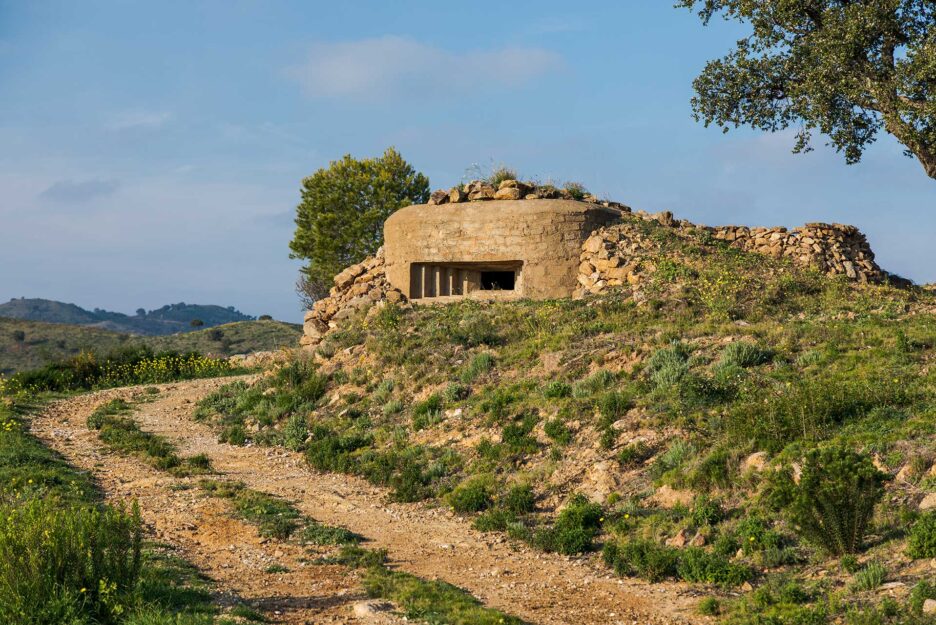

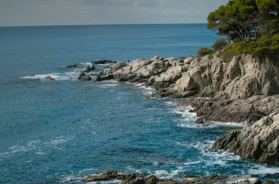
Routes
Plan a hike or a cycling itinerary with our complete list of Costa Brava hiking routes and cycling trails. Explore routes at a glance, filter by difficulty, and download the .gpx files for your GPS navigator by clicking "Download route".
Regional Routes

Hiking 
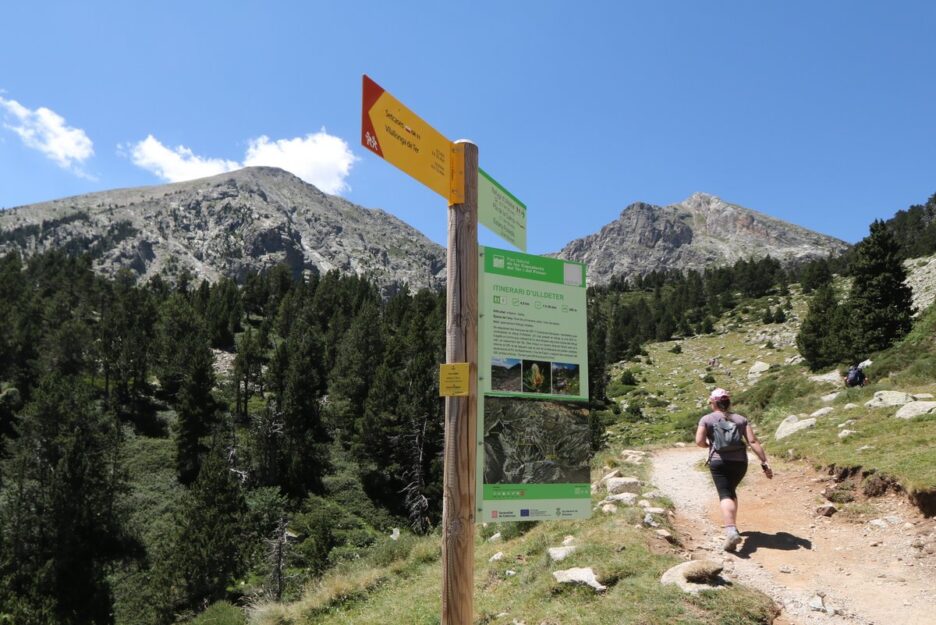
Vallter 2000 - The Source of the River Ter
Difficulty
Low
Distance
3.56 km
Duration
105 min
Hiking
La Garriga d'Empordà - Llers (Itinerànnia)
Difficulty
Medium
Distance
13.10 km
Duration
195 min
Hiking
Alt Empordà, route 8: Peralada - Cabanes (Itinerànnia)
Difficulty
Medium
Distance
14.60 km
Duration
229 min

Hiking
Hostalric - Fogars de la Selva - Tordera - Blanes: Camí de la Tordera
Difficulty
Low
Distance
22.00 km
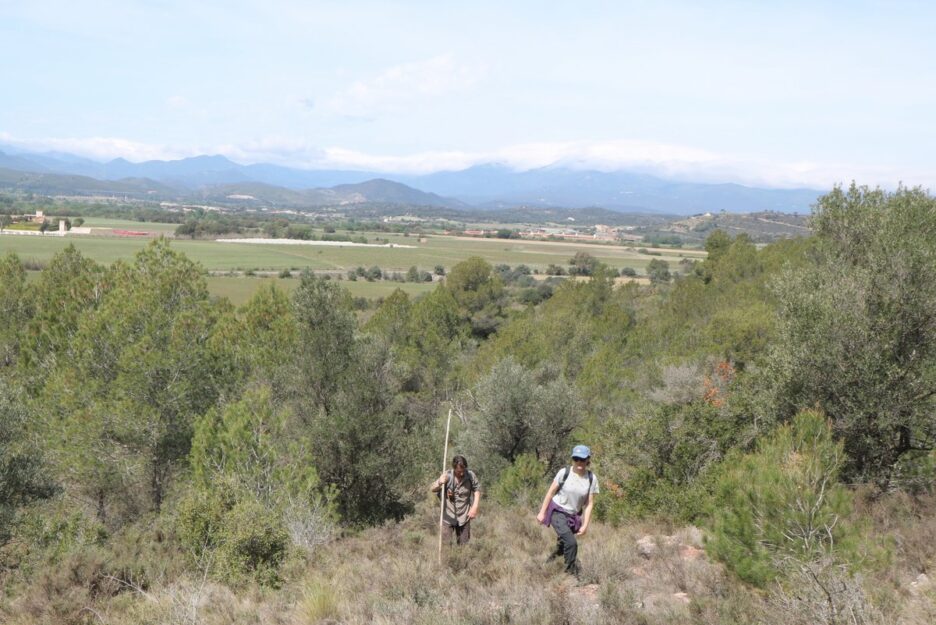
Hiking
Brunyola - Riudellots de la Selva: Camí de l'Onyar
Difficulty
Medium
Distance
19.00 km
Hiking
Santa Coloma de Farners - Vidreres: Camí dels Segadors
Difficulty
Low
Distance
17.00 km
Hiking
Route of the dolmens (Itinerànnia)
Difficulty
Medium
Distance
13.10 km
Duration
247 min