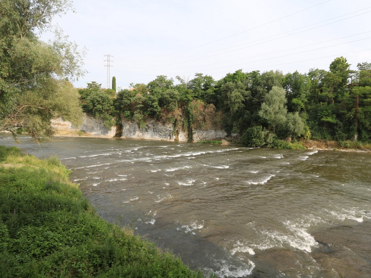
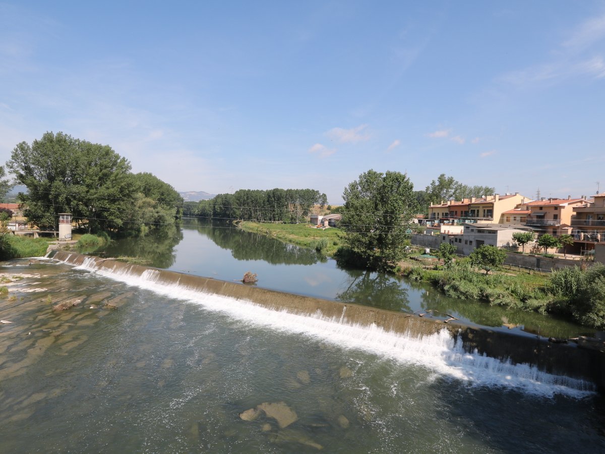
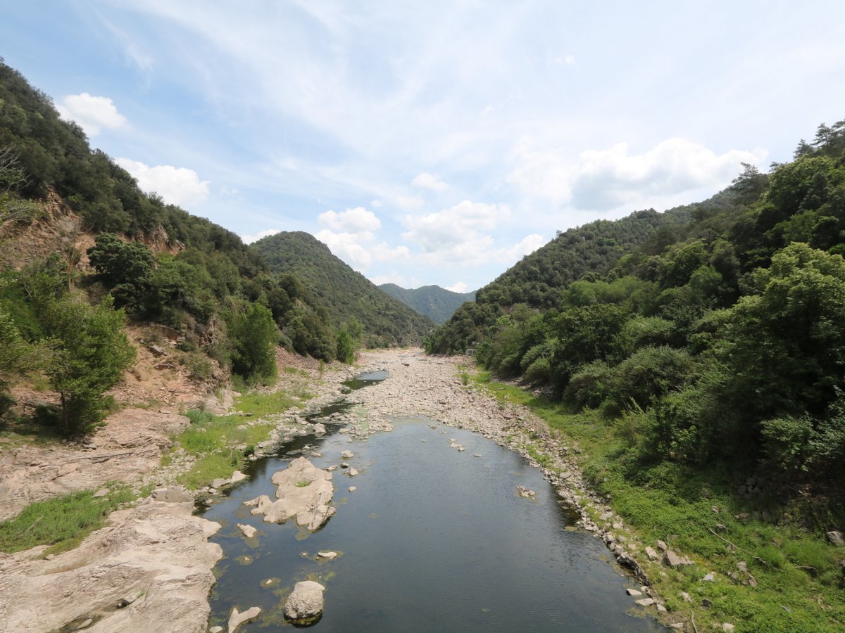
The river Ter rises in the icy Ulldeter in the Pyrenees at the elevation of 2,480 m and discharges into the Mediterranean Sea between the beaches of Pals and L’Estartit at the spot known as Gola del Ter.
The Ter runs for 208 km with an approximate drainage area of 3,010 m2 and an average flow rate of 17,15 cubic metres per second.
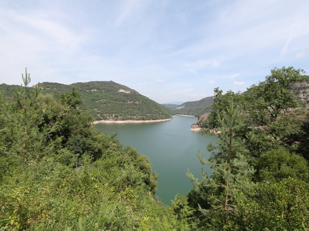
On its way to the sea, the river Ter is replenished by two major reservoirs, Pantà de Sau and Pantà de Susqueda, that also supply drinking water to many Catalan towns and cities, including Barcelona.
There is a hiking and cycling route that runs along the Ter, called Ruta del Ter, that makes an exciting multi-day trip (4-7 days).