Beaches
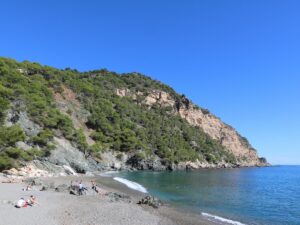
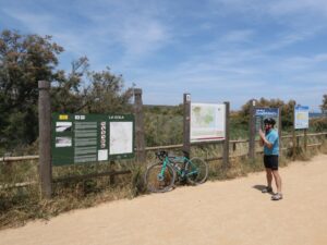
The Fonda beach (Platja Fonda) is a small stretch of dark sand continued in the north by the cliffs of Cap de Begur. The beach is partially covered by a tall cliff as well that shelters visitors from the hot afternoon sun. The only way to access the Fonda beach is to climb down the stairs on the south side, next to Cap de Rubí. Parking is about a hundred meters away. In summer, there is a café open on the beach.
Fonda Beach
41.9420950000, 3.2175760000
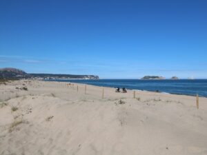
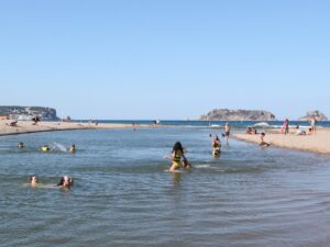
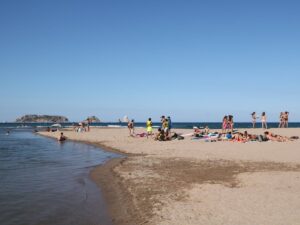

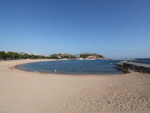
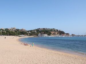
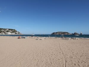
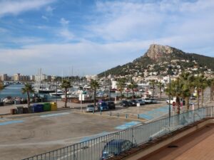
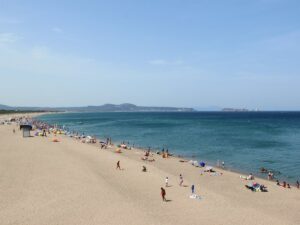
L’Estartit, formerly a modest fishing hamlet next to Torroella de Montgrí, is now a popular beach resort on the Costa Brava, far better known outside of Catalonia than even the municipal centre of the area. The town beach of L’Estartit is one of the largest on the coast, counting almost 1000 m in length.
The beach of L’Estartit (Platja Gran de l’Estartit) is a dream come true for sunbathing with a view—less than a kilometre separates the shore from the Medes islands, one of the prime diving destinations not just in the region, but in the world.
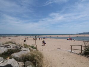
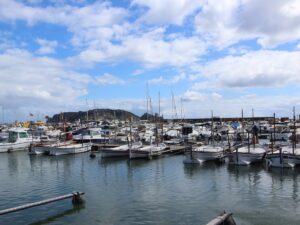
The beach has a dedicated lifeguard team, a diving school, and a water adventures agency. It is of course equipped with outdoor showers, parasol and lounger rentals, and a small port area from where boats and catamarans depart for the Medes islands, the cliff of La Foradada, and the pueblo of Sant Martí d’Empúries.
Walking south along the L’Estartit beach towards Pals and Begur, within half an hour you will reach a truly unique spot on the Costa Brava coast, La Gola del Ter, where the river Ter meets the Mediterranean sea. Here, you can alternate bathing in the sea with swimming in shallow river waters with a powerful current.
L'Estartit Beach
42.0479200000, 3.1985420000
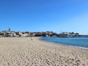
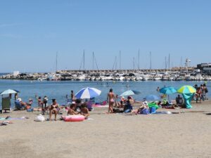
L’Escala is the only town in the Costa Brava whose sea promenade does not run along just one long beach, like, for instance, in Blanes or lloret de Mar. Instead, the beaches of L’Escala are a collection of coves and bays, from tiny to fairly large—Platja del Portitxol, Platja de Riells, Port d’en Perris, and Platja de les Barques (“The beach of the boats”).
The latter, despite its small size (100 m long and 20 m wide), is considered the main beach of L’Escala. When offering to meet “on the beach” for a stroll, lunch, some ice cream or a glass of wine, the locals mean the beach of Platja de les Barques.
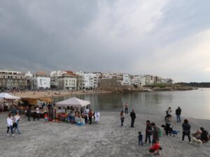
This is where the key town events take place, including the procession for the holy patron of seamen on July 16 (Festa de la Mare de Déu del Carme), the Festival of Anchovies and Salt (Festa de la Sal), and the performances of the PortalBlau festival.
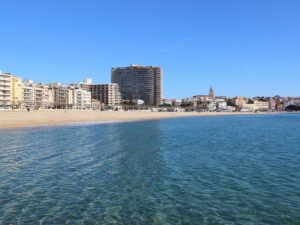
The Platja de les Barques beach, being the main one in a popular resort town, is well equipped (there are showers, washrooms, summer lifeguard service) and holds the Blue Flag designation for the quality and safety of its water.
Platja de les Barques
42.1266000000, 3.1332140000
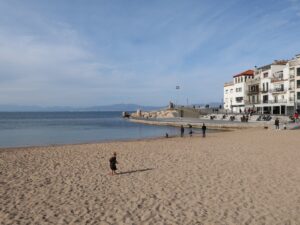
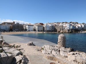
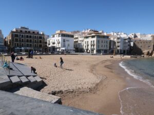
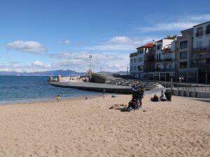
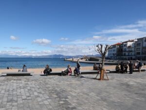
Directions: enter Plaça Port Bo, Calella de Palafrugell into your GPS.
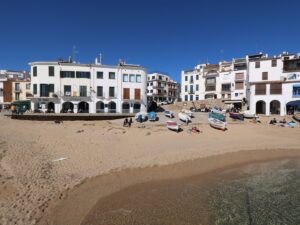
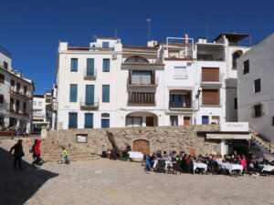
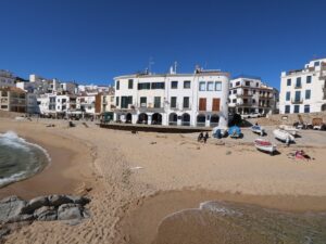
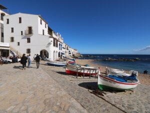
Port Bo
41.8882570000, 3.1851610000
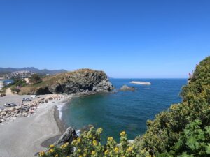
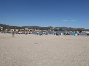
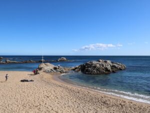
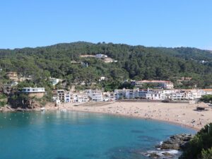
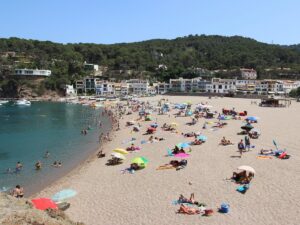
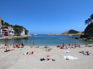
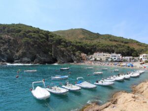
The cove of Sa Riera is the most spacious beach adjacent to Begur, Costa Brava. It is approximately 300 meters long and 100 meters wide. Both the beach and the seafloor here are sand.y The beach is fully equipped with changing rooms, toilets, the first aid and a lifeguard station, outdoor showers. There is also a concrete path leading almost to the edge of the shore allowing easier wheelchair and stroller access.
Another convenient structure on this Costa Brava beach is wooden amphitheatre-type seating where you can sunbathe, dry up after swimming, kick the sand out of your shoes or just sit enjoying the view of the Medes Islands.
During the high summer season, Sa Riera comes alive with numerous restaurants, cafés, convenience stores selling beach accessories, and rentals for boats, paddles, kayaks and more.
Sa Riera Beach
41.9730830000, 3.2109230000
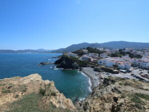
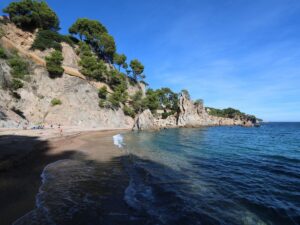
Sa Tuna is a residential area within the municipality of Begur that grew in place of a fishing village. The beach of Sa Tuna (Platja Sa Tuna) is fairly small, measuring 80 m in length and 15 m across, covered in pebbles, yet has no shortage of visitors year round. The views from the beach are striking and what made the Costa Brava coast famous in the first place: to the right, you can see the cape Punta des Plon—walking towards it will open up the views of Cala Aiguafreda and Cap Sa Sal. Sa Tuna Beach is equipped with showers and has several restaurants right nearby.
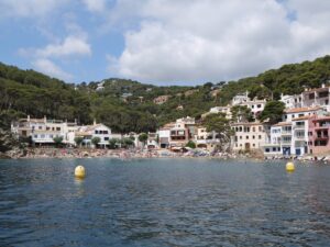
Sa Tuna Beach
41.9604620000, 3.2297320000