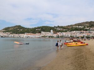
Sights of El Port de la Selva
Phone: 972 387 559
Opening hours: Tuesday-Sunday and holidays 10:00 am to 5:30 pm (1st October to 31st May), 10:00 am to 8:00 pm (1st June to 30th September).
Closed on 1st and 6th January, 25th and 26th December.
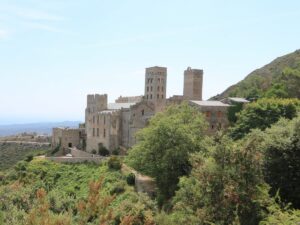
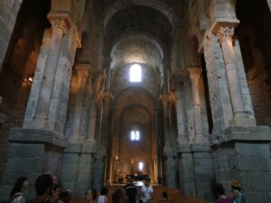
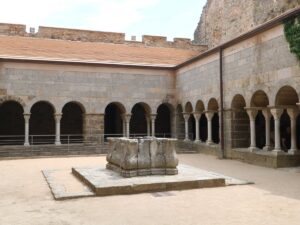
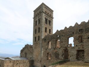
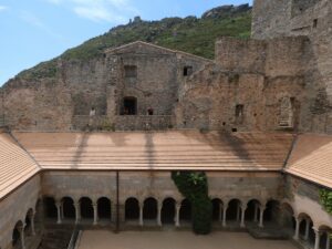
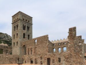
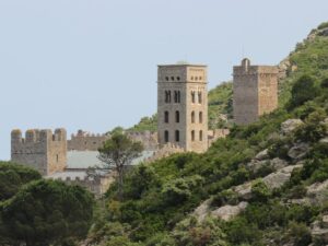
Monastery of Sant Pere de Rodes
42.3233950000, 3.1663710000
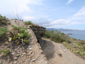
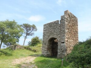
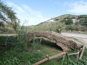
Despite its wild and “brave” nature, Costa Brava is a well-inhabited coast with signs of human activity found even in its most remote corners. Even in the hardest-to-access coves requiring a multi-hour hike, you may find some sort of shed or shack standing modestly by the shore. For most of those sheds, their utility is self-evident, especially if there is a jetty nearby.
The little shack found in Cala Prona Cove, the farthest-removed cove in the natural reserve of Cap de Creus (Parc Natural de Cap de Creus), has a bit more history to it than usual. For starters, it dates back to the 18th century and what is more, it has at some point made it onto the privileged list of the objects of historical significance of Catalonia.
Cala Prona is unquestionably picturesque, but fishermen value its biodiversity, abundance of plankton and fish much more than its landscape aesthetics. For instance, it’s an ideal spot for tuna and mackerel fishing. To prevent crowding and overfishing, there has historically been a lottery held among fishers to assign fishing rights in the cove. The shack on the beach is used by all of them communally. (Maybe the door key is also hidden nearby?)
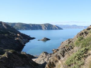
Visiting the Prona cove and capturing its beauty requires that you drive to El Port de la Selva and embark on a lengthy but unchallenging hike.
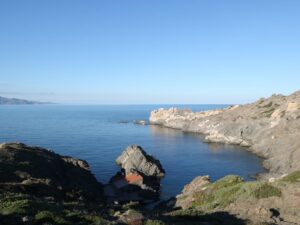
Prona Cove
42.3369300000, 3.2619900000

Santa Creu de Rodes is an abandoned ancient hamlet next to the monastery of Sant Pere de Rodes.
Its population loss began in the 13th century, the time of the conquest of Mallorca in which the hamlet residents took an active part. In the following century, it was the plague that took its toll and then, time itself did the rest—while life continued in the hamlet to some extent for a couple of centuries more, by the end of the 16th century the village had completely died out.
The most well-preserved building in Santa Creu de Rodes is the church of Santa Helena de Rodes, first mentioned in the archives back in 974 A.D. In 1997, the church received a heritage designation and governmental protection as a culturally significant object of national interest.
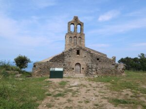
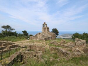
Santa Creu de Rodes Hermitage
42.3266320000, 3.1601070000
Directions: locate the beginning of the 44th stage of the route GR® 11 in El Port de la Selva and follow the route towards the sign indicating the direction to the cove.
Tavallera Bay
42.3296080000, 3.2500030000
Directions:
From Sant Pere de Rodes monastery: 25 minutes (710 m, elevation change 23.5%)
From the western parking of the monastery next to the hermitage Santa Creu de Rodes): 35 minutes (1500 m, elevation change 9.5%)
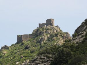
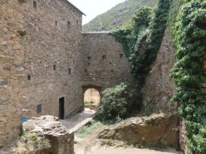
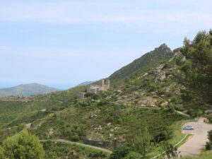
Verdera Castle
42.3199020000, 3.1679260000