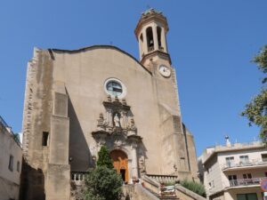
Sights of Llançà
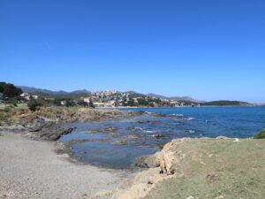
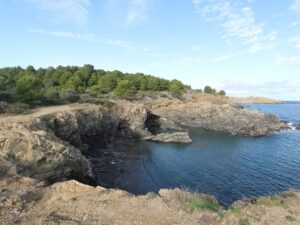
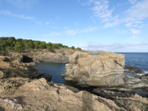
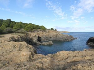
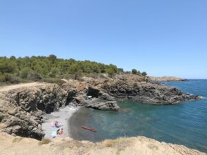
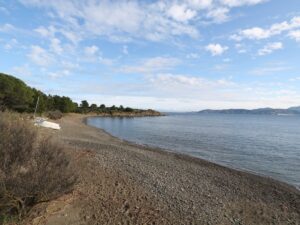
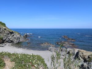
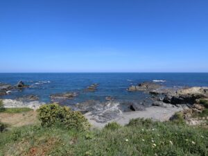
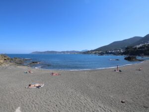
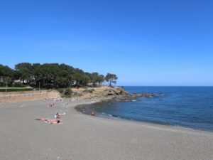
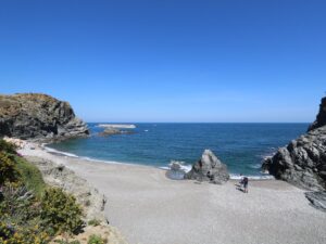
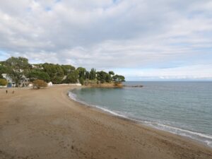
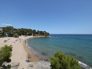
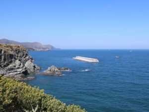
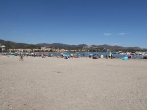
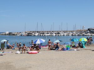
The Bramant cove, or Cala Bramant, found in the northern part of the Costa Brava coast between Colera and Llançà, is one of the most picturesque in the area. The locals often call it by a different name—Cala dels Enamorats, or the Cove of Lovers—because of the many rocks surrounding the cove for maximum privacy. The cove is connected to the sea by a narrow channel which makes it look like a giant bathtub.
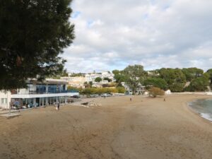
The closest residential area is a half-an-hour walk away along narrow trails and a country road. The beach in the cove is a wild one; no services or city beach amenities are to be expected here. The beach is sandy but has a rocky bottom underwater, so entering the water is a cautious affair. Some daredevils use the tall cliffs around the cove to spectacularly dive down instead.
Directions: Follow the highway N-260 northbound, turn right at the coordinates (42.388598, 3.158109) towards Carrer Sant Miquel de Colera and follow the road signs until the point with the coordinates (42.385298, 3.159507). From here, continue northwest on foot—the walk to the cove will only take about 5 minutes.
Bramant Beach
42.3860960000, 3.1624760000

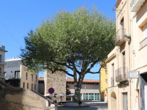
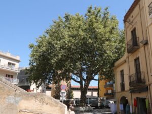
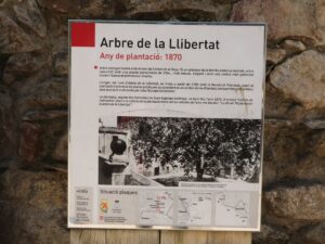
The sycamore tree in the centre of the Plaça Major square in Llançà is one of the monumental trees of Catalonia that are protected heritage sites due to their history and/or size.
Many peoples throughout the centuries have considered sycamores sacred. After the French Revolution, a sycamore became also a symbol of freedom — the sycamores in Llançà and Arbucies are called Liberty Trees for this reason. At the end of the Spanish Civil War (1936-1939), a group of Frankist soldiers wanted to cut down the Llançà tree to mark the defeat of liberal ideas but were stopped by their chaplain.
The height of the Llançà sycamore is 11.5 m; the trunk circumference is 3.48 m; an average diameter of the crown is 12.5 m.
Monumental tree Arbre de la Llibertat de Llançà
42.3632524350, 3.1520170230
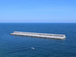
After a winter storm assaulted the port of Llança on December 26, 2008, doing significant damage, the municipal government found the money to build a dam to protect the port from future disasters. In a few years, the new, 116 meters-long structure went up, safely covering not only the town but its pretty landscape too. The Costa Brava pairs well with white sails and fishing boats, not enormous utility planks of concrete.
In 2012, the Catalan artist and sculptor Carles Bros proposed using the dam as a giant canvas for a no less giant mural. The project was accepted and funded, and in three months the dam got turned into Banc de Peix (The Fish School), covering 3162 square meters of space. In the process of painting it, the artist had to use not only brushes and paint, but climbing equipment and safety harnesses too. On June 22, 2013, the dam makeover was officially revealed to the world. Today, Banc de Peix is the largest wall mural on the planet.
The concept behind it is genius in its simplicity — the subject matter of the mural does not depend on the length of the canvas, but it definitely nails the essence of marine life!
Mural 'Banc de Peix'
42.3739710000, 3.1663380000
Address: Passeig Marítim, 7 | 17490 Llançà, Girona, Girona
Phone: 972 38 01 32
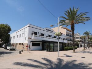
Restaurant Miramar **
42.3711190000, 3.1601630000